
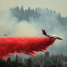
Above: Tanker 12 drops on the Trailhead Fire. A Cobra helicopter is in the background. Photo July 1, 2016 by Matthew Rhodes.
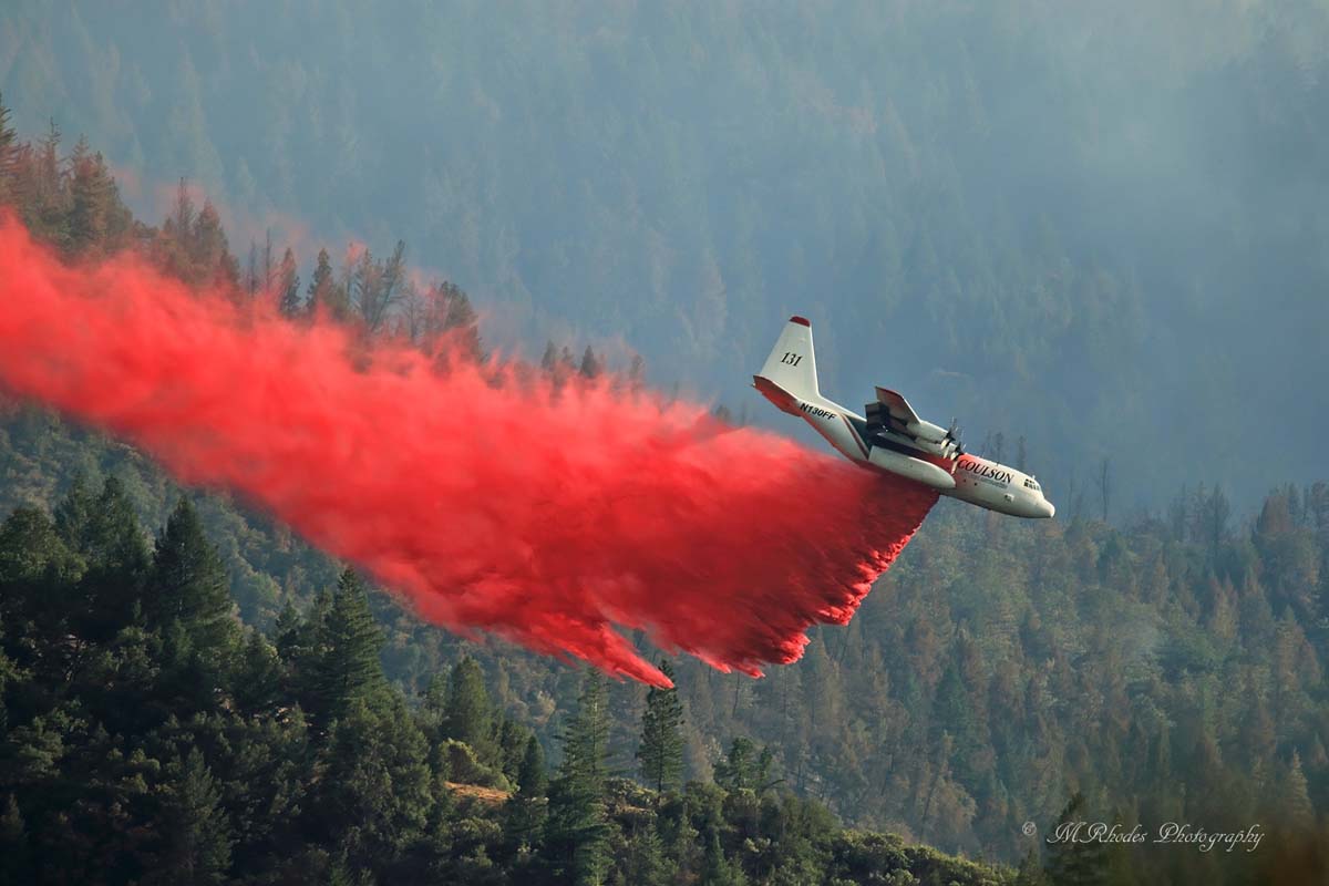
Matthew Rhodes sent us these photos he took July 1, 2016 on the Trailhead Fire on the El Dorado National Forest 11 miles east of Auburn, California. Thanks Matthew.
The 4,000-acre fire is causing evacuations in Placer and El Dorado counties.
anyone have the proper air tactics channel for this fire?..i have 151.280 and 169.150,i do also have the helicopter victor channel working..and i know 151.280 had been returned to IA fires in this area,but i dont hear much on 169.150i have 2 ridges between myself and the fire,but im almost to the top of my ridge,just a few hundred feet below the top due east,but higher than to my east northeast,so i should hear ops..
any help?..buddy of mine had told me he heard they were shifting freqs around due to the two days of drone sightings,anyone know if this is true?..i didnt hear it if so.